")
")
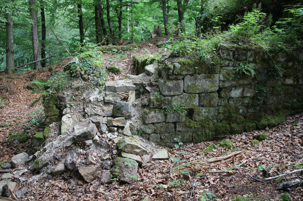
The southern palace wall, looking north. Photo: Wolfgang Richter.
On June 14, 2025, the support group is planning a work assignment at the ruins: removal of growing bushes and trees from the ruin walls and reconstruction of the crumbling southern palace wall, again as a dry stone wall as successfully carried out on the ring wall last autumn. This section of the palace wall is deteriorating more and more. In this area, for example, there is a narrow window to the first floor of the palas, which was still completely preserved after the 1981 excavation and has now almost completely disintegrated.
If you would like to take part in this work assignment, please register by June 6th, 2025 at
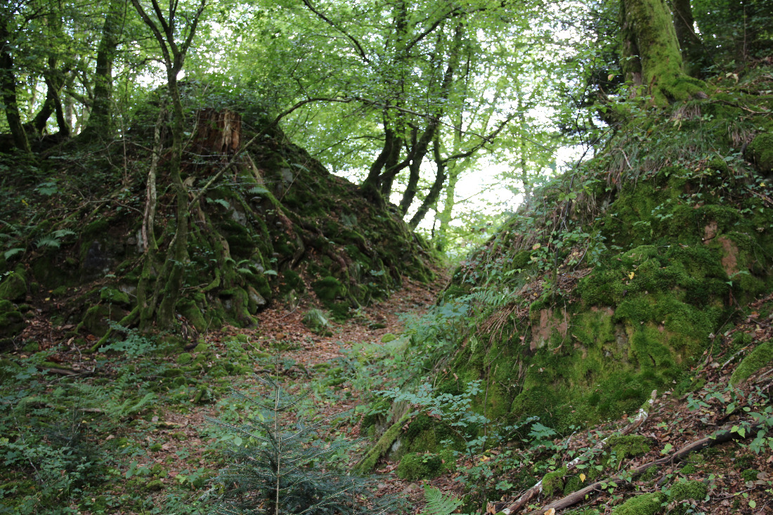 The moat of Neu-Waldeck Castle on a rocky spur above Tegernau in the small Wiesental valley.